Mod articles
-
How to work with parallax maps without sacrificing performance.
The parallax map is a grayscale procedural map. Heights are calculated relative to the midpoint red127green127blue127, which is the relative zero of the surface, where 0,0,0 is the absolute depth, and 255,255,255 is the absolute height (in fact, the zero value is discarded by the engine, like white, must be at least 1,1,1 or 254 , 254,254).
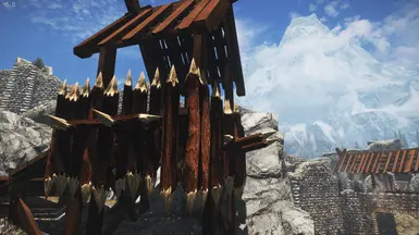
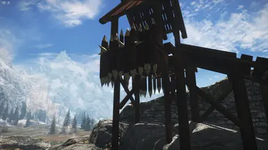
To display heights correctly and avoid visual distortions such as spiky surfaces, stretching, and holographic fluctuations in the main diffuse map image, your height map must be plotted (read drawn in gray) within a very narrow range of values. It doesn’t matter where this range will be located - closer to black or white, adjacent areas should differ very slightly. To do this, on the finished map you need to use the Brightness/Contrast tools of ...


